Landscape Archaeology Stream
"Landscape" means an area, as perceived by people, whose character is the result of the action and interaction of natural and/or human factors (ETS 176 – European Landscape Convention, Florence 20.X.2000).
 Susan Silberberg-Peirce, Canyonlights World Art Slides")
The Landscape Archaeology stream explores the methodological approaches and theoretical perspectives which underpin the documentation, analysis, interpretation and management of past landscapes.
Through a combination of taught modules and independent research you will evaluate the natural and human factors which have shaped the character of the archaeological landscape, engaging with key issues through case studies from British, European and World Archaeology.
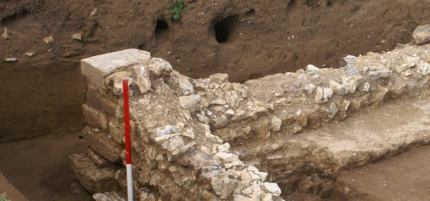
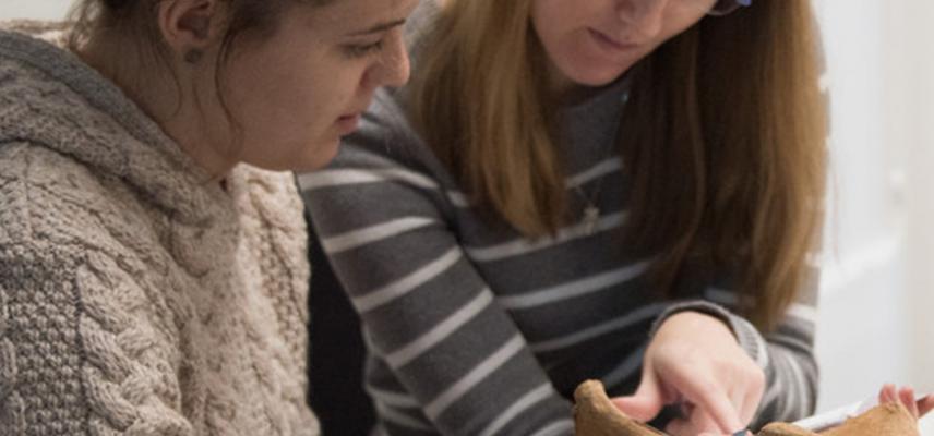
You will have an opportunity to participate in landscape-based fieldwork projects led by academic and research staff at Oxford. The School of Archaeology is recognised as a centre for excellence in landscape archaeology and attracts students and researchers from around the world.
Topics covered include:
- GIS and spatial analysis
- Archaeological prospection
- Cultural and physical landscapes
- Landscape ecology
- Past land use
- Identity and place
All MSc in Archaeology students take the mandatory Archaeological Principles: Data & Theory. You will also take two core modules offered within Landscape Archaeology: One List A taught in the first term, and the other from List B taught in the second term. The fourth module is your option module (also from List B), also taught in the second term; this is chosen from all available List B modules in any stream, or a module from the MSt in Classical Archaeology. In some circumstances a subject taught in the MSc in Archaeological Science may be taken as your option module, however this is taught over two terms.
Please note that the modules and streams listed on this website are indicative of the typical offerings and are subject to review each year. Whilst every effort is made to offer the full variety of modules/streams this is not possible to do every year. This is due to the fact that some modules/streams are dependent on student numbers to ensure an appropriate quality of education; timetable clashes; staff availability; etc. For enquiries, please email admissions@arch.ox.ac.uk.
List A Modules
 Susan Silberberg-Peirce, Canyonlights World Art Slides")
This course provides and overview of the key issues in landscape archaeology, highlighting the approaches and methods employed in the recording, management and interpretation of the archaeological landscape. It will explore the theoretical perspectives and methodological approaches which have furthered our understanding of the development of the cultural and physical landscape.
Topics will include:
- space vs. place
- funerary landscapes
- designed landscapes
- landscape and identity
- aerial archaeology
- archaeological prospection
- historic landscape characterisation
This course will provide students with a robust understanding of the approaches that are used in landscape archaeology, enable them to critically evaluate the datasets that are used to study past landscapes and apply appropriate methods to their own research.
Convenor: Dr. John Pouncett
List B Modules
 Mark Weber, World Monuments Fund")
This Module provides a practical introduction to the use of Geographic Information Systems (GIS) in archaeology. GIS has transformed the way in which archaeologists manage spatial data, think about spatial relationships and engage the public in research. The analytical, interpretative and communicative potential of GIS will be explored within the broader context of spatial archaeology, highlighting the methodological and theoretical implications of GIS-based approaches with reference to key case studies.
This module introduces the concepts of space, tools of representation and processes of reasoning which underpin archaeological applications of GIS. Students will learn how to critically evaluate the methods employed by other researchers and apply appropriate methods to datasets created during practical classes and their own research.
Convenor: Dr. John Pouncett